


Chabiscol du 26/08/2024

VANDERPUTTENMi
User GUIDE
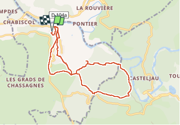

Length
9.9 km

Max alt
251 m

Uphill gradient
248 m
Km-Effort
13.3 km

Min alt
149 m

Downhill gradient
249 m
Boucle
Yes
Creation date :
2024-08-26 05:07:27.14
Updated on :
2024-08-26 10:00:50.226
2h46
Difficulty : Difficult

FREE GPS app for hiking
 SityTrail
IGN / Geographical institutes
SityTrail Plus
The world is yours!
About
Trail Walking of 9.9 km to be discovered at Auvergne-Rhône-Alpes, Ardèche, Les Vans. This trail is proposed by VANDERPUTTENMi.
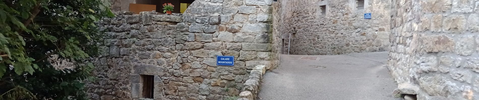
Photos


Positioning
Country:
France
Region :
Auvergne-Rhône-Alpes
Department/Province :
Ardèche
Municipality :
Les Vans
Location:
Chassagnes
Start:(Dec)
Start:(UTM)
592742 ; 4918261 (31T) N.
Comments